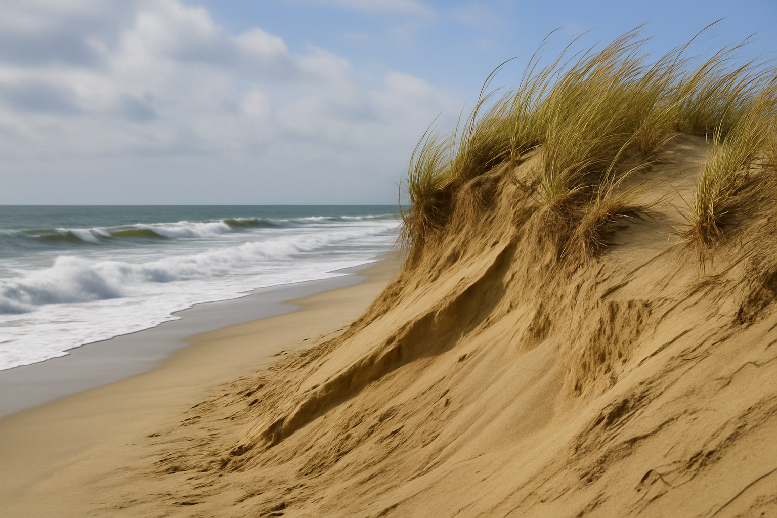
For half a century the North Carolina Outer Banks have been retreating before the sea. The media and the climate establishment would have you believe this is proof of a planetary emergency. But the numbers tell a different story. More than four-fifths of the erosion we witness today has nothing to do with so-called “abnormal warming.” It is the predictable product of storms, shifting sands, ocean currents, and the slow settling of the land itself.
Barrier islands are not bedrock; they are mobile sandbars. They move, they wash over, they open and close inlets. That is their nature. When a hurricane cuts a new channel, or when a nor’easter grinds the dunes for days, the shoreline can retreat a dozen feet in a season. Subsidence, the gradual sinking of the land since the Ice Age ended, contributes more. The restless Gulf Stream, with its shifts and pulses, pushes water against the coast and raises tides higher than the global average. These are not aberrations — they are the natural physics of a barrier coast. They account for more than 80 percent of the retreat we see in the Outer Banks since 1975.
What about the rest? Yes, there is roughly a fifth of the erosion that lines up with a warming trend. Over the last fifty years, the seas have risen faster than the long-term background rate — about two and a half millimeters per year instead of the historic one to one-and-a-half. Translate that vertical rise to horizontal retreat, and you get about 19 percent of today’s erosion. That is the “abnormal” part. But here is the plain truth: we do not know what portion of that trend is caused by man, what portion by long ocean cycles, and what portion by forces we barely understand. The science is contested. Attribution is debated. To claim it is settled is to practice politics, not inquiry.
So what do the facts actually say? They say that the Outer Banks are disappearing primarily because barrier islands have always disappeared. Long before coal plants, they rolled westward under storm and tide. They say that the lion’s share of the sand loss we measure is driven by nature itself. They say that even the “extra” slice attributed to warming is small compared to the storm-driven, current-driven, land-driven forces that have shaped these islands for millennia.
This is not climate catastrophe. This is barrier-island reality. And it is why we must treat claims of man-made crisis with skepticism. America’s coastlines deserve sober stewardship, not alarmist dogma.
Showing the math:
Observed long‑term retreat (avg): ~2.1 ft/yr.
Retreat attributable to sea‑level rise (all causes) via Bruun: ~0.65–0.99 ft/yr (midpoint ≈0.82 ft/yr) ⇒ ~40% of total.
“Abnormal” (excess‑over‑200‑yr) share of SLR: using 2.5 mm/yr current vs. ~1.3 mm/yr long‑run background ⇒ ~48% of the SLR component.
Map that back to total: 0.48 × 40% ≈ 19% of total retreat.
So, non‑abnormal causes ≈ 100% − 19% = ~81% of the erosion:
- subsidence,
- Gulf Stream/ocean dynamics,
- storms/overwash/inlet changes,
- sediment shortages and human constraints,
- plus the background (non‑abnormal) share of sea‑level rise.
Reasonable bounds from the slope/SLR‑rate uncertainties put this at about ~78–84%, with ~81% as the best single estimate.
References
North Carolina Department of Environmental Quality. Updated Oceanfront Shoreline Erosion Rates. 2019.
NOAA CO-OPS. Relative Sea Level Trends, Duck NC. Accessed 2024.
IPCC AR6, Working Group I, Ch. 9. Sea Level Change. 2021.
Ezer, T. and Corlett, W. Is sea level rise accelerating in the Chesapeake Bay?. Journal of Coastal Research, 2012.
Goddard, P. et al. An extreme event of sea level rise along the Northeast coast of North America in 2009–2010. Nature Communications, 2015.